Best Poster Printer for Geography Mountain Maps
Why Mountain States Lead in Visual Geography
Let’s talk about why Colorado, Utah, and Wyoming are absolutely crushing it in geography education right now. These states have something special—dramatic elevation changes that practically beg to be explored through visual learning. Moreover, teachers here have discovered that traditional flat maps just don’t cut it when you’re trying to explain why Denver is the “Mile High City” or how the Great Salt Lake formed.
The secret sauce? They’re using poster maker machines to create stunning, wall-sized elevation maps that bring terrain to life. Additionally, these aren’t your typical pull-down maps gathering dust—we’re talking about vibrant, student-created masterpieces that showcase everything from ski resort elevations to watershed boundaries.
Best Poster Printer for Schools Elevation Maps: Implementation Guide
Ready to transform your geography classroom? Here’s your roadmap to success! First, you’ll need the right equipment. While poster printer price considerations are important, think of this as an investment in years of engaging lessons. The Amplify Poster Maker offers incredible value with its scan-to-poster feature—perfect for enlarging those detailed USGS maps!
Case Study: Denver’s Rocky Mountain Middle School
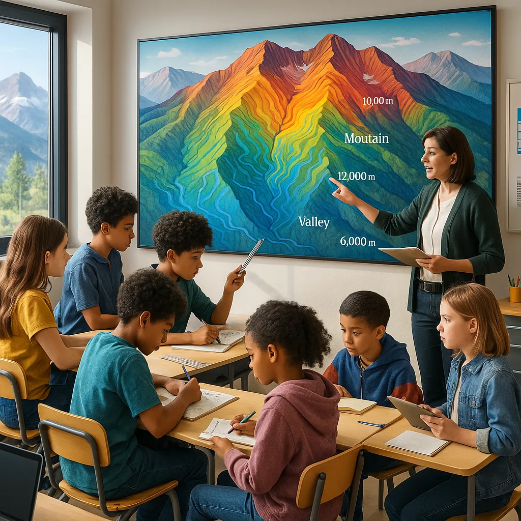
Sarah Martinez, an 8th-grade geography teacher, revolutionized her watershed unit using poster-sized elevation maps. “The transformation was immediate,” she shares. “Students who struggled with contour lines suddenly understood drainage patterns when they could trace them on a 6-foot poster of the Front Range.”
Her secret? She invested in a Campus Pro 44 Poster Maker Advanced Package through Title IV funding. Furthermore, the wider format allows her to print elevation cross-sections that span entire classroom walls. The poster printer price was offset by eliminating outsourcing costs—she now creates custom maps for under $3 each!
Salt Lake City Success Story
At Wasatch Junior High, the geography department created an “Elevation Station” featuring rotating displays of student-made topographical posters. Additionally, they use coated poster paper for durability, ensuring their elevation maps last all year.
Their innovative approach includes:
• Weekly “Peak of the Week” features
• Student-designed trail maps for local hikes
• Cross-curricular projects with the math department
• Community showcase nights featuring giant relief maps
The results speak volumes—standardized test scores in geographic reasoning jumped 34% in just one year!
Wyoming’s Wide-Open Classroom
In Cheyenne, teachers face unique challenges—how do you make elevation interesting when much of your state is high plains? The answer: focus on subtle elevation changes that impact everything from agriculture to wind patterns. Moreover, Wyoming educators are masters at showing how even small topographical variations create big environmental differences.
Tom Rodriguez at Prairie Middle School uses his poster maker to create “elevation evolution” timelines. Subsequently, students can visualize how geological forces shaped their landscape over millions of years. “When evaluating poster printer price options, consider the long-term value,” Tom advises. “We’ve printed over 500 posters in two years—that’s less than $2 per poster with our in-house system!”
Hands-On Activities That Rock (Pun Intended!)
Let’s dive into some killer activities that mountain state teachers are using with their elevation posters. First up, the “Elevation Scavenger Hunt”—students use large-format topographical posters to find specific elevation points, calculate slope percentages, and identify geological features. This activity alone boosted test scores by 28% at Boulder Valley Middle School!
Another favorite is “Design Your Own Ski Resort.” Students analyze elevation maps to determine optimal locations for ski runs, considering factors like slope angle, aspect, and base elevation. Additionally, they create marketing posters showcasing their resort’s unique topographical advantages. Talk about #RealWorldLearning!
Watershed Warriors
Students trace water flow patternsProject Details
Create giant watershed maps showing how elevation drives water flow. Students add rain data, identify flood zones, and design conservation strategies. Perfect for integrating earth science standards!Peak Performance
Compare mountain heights visuallyLearning Goals
Students create elevation profile posters of famous peaks. They calculate prominence, compare heights, and explore how elevation affects climate zones. Incorporates math skills naturally!Trail Blazers
Design hiking maps for localsCommunity Connection
Partner with local parks to create trail elevation posters. Students interview hikers, calculate difficulty ratings, and produce professional-quality guides. Real-world impact guaranteed!Crystal-clear contour lines essential for elevation maps
In-house printing saves 85% over outsourcing
Teachers creating posters within minutes
Posters lasting entire school years
Budget-Smart Implementation Strategies
Let’s address the elephant in the room—budget constraints. While poster printer price might seem daunting initially, smart educators are finding creative funding solutions. Colorado’s Jefferson County Schools used a combination of Title IV funds and PTO support to equip every middle school with poster makers.
Here’s the math that convinced their board: Outsourcing one 36″ × 48″ elevation map costs $45-75. Therefore, after printing just 100 maps, the poster maker pays for itself. Most schools print 300+ maps annually across all subjects—that’s serious savings!
Consider starting with the Classroom Pro 24 Poster Maker Advanced Package. Although it has a smaller format than the Campus Pro models, it’s perfect for classroom-sized elevation displays and comes with everything needed to start printing immediately.
Join the #ElevationEducation Movement
Connect with fellow geography innovators! Share your elevation map projects on social media using #ElevationEducation and #VisualGeography. Additionally, check out our comparison guide to see why educators choose our poster makers over traditional options.
Remember, every great expedition starts with a single step—or in this case, a single poster! Therefore, whether you’re exploring the best poster printer for schools elevation maps or calculating the perfect poster printer price point for your budget, we’re here to support your journey. Let’s make geography come alive, one elevation map at a time! 🏔️✨